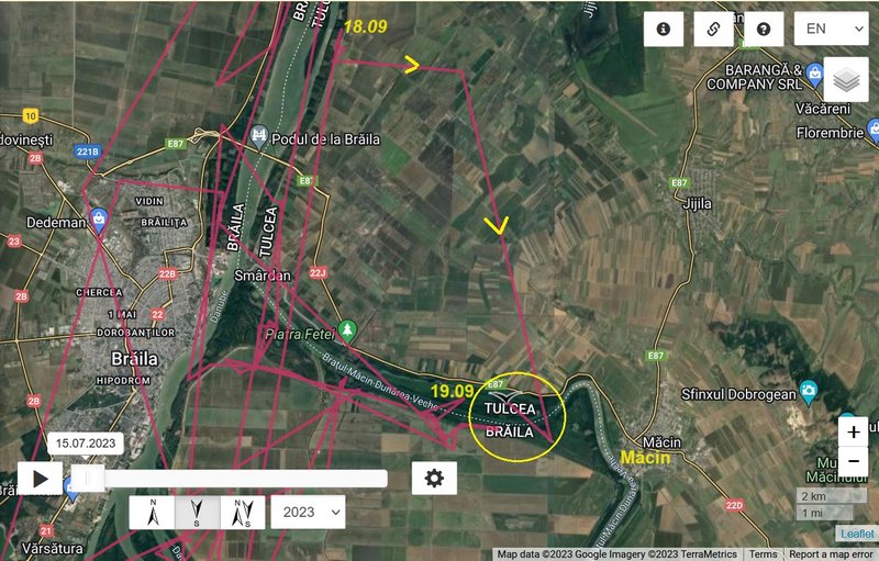
birdmap update 19.09.2023
NEW data:
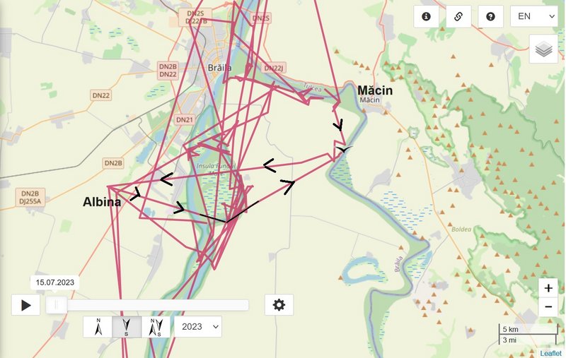
- 19.09.2023, Distance: 2253 km (+ 17 km)
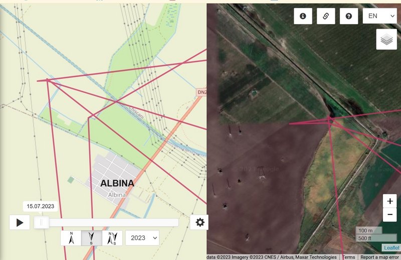
- ROMANIA: to the west from Măcin - a a town in Tulcea County
(Northern Dobruja region)
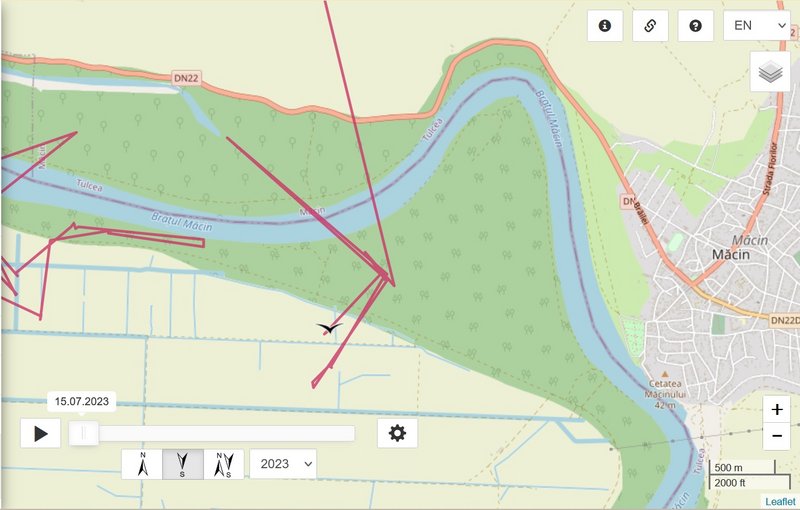
Kuremari moved from area to the west from the Island "Insula de pe Dunare" or "Insula Veriga" (floodplain between river bank and the anti-flood embankment) to the south-east - Dunărea Veche (Braţul Măcin) / Old Danube (Măcin Arm).
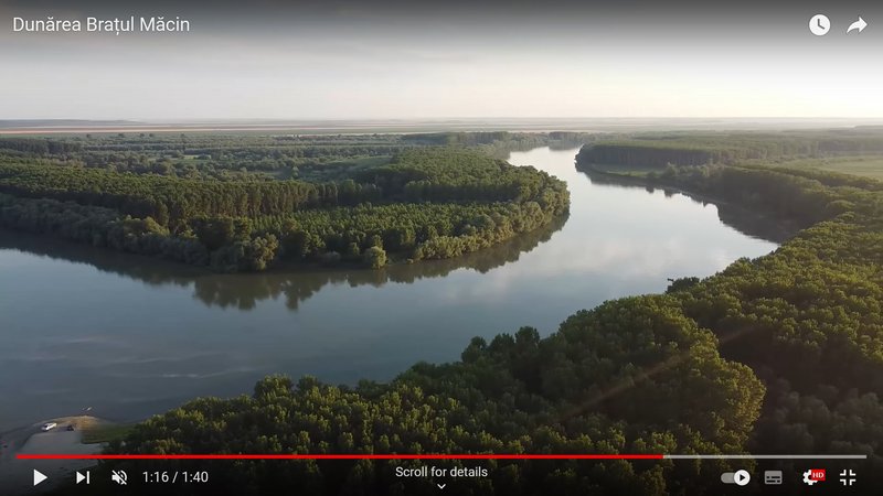
Dunărea Veche (Braţul Măcin):
https://ro.wikipedia.org/wiki/Dun%C4%83 ... M%C4%83cin
info about this area:
It is
Important Bird Area - IBA (
http://datazone.birdlife.org/site/facts ... ba-romania) and
Ramsar Site (
https://rsis.ramsar.org/ris/2116): The site is part of the Danube meadow and is situated in an important migration corridor, providing breeding, resting and feeding shelter for many bird species. The landscape is characterized by lakes between sand dunes, marshes, shrub wetlands, fishponds, islands, canals and drainage channels all very rich in biodiversity.
Belong to Natura 2000 sites (
https://eunis.eea.europa.eu/sites/ROSPA0040)
You can see on this map the whole area and how the Great Brăila Island changed

-
https://rsis.ramsar.org/RISapp/files/36 ... 116map.pdf.
(There was a series of swamps – Brăila Pond/Balta Brăilei, until the Communist regime drained them and built dams and transformed it to an agricultural area. - wiki)
PHOTOS Old Danube (Măcin Arm) e.g. here
https://www.info-delta.ro/bratul-macin- ... rii-vechi/


