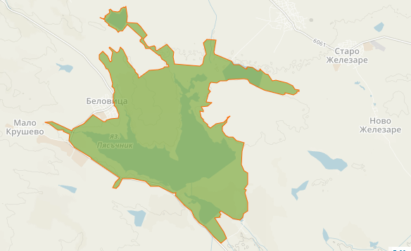
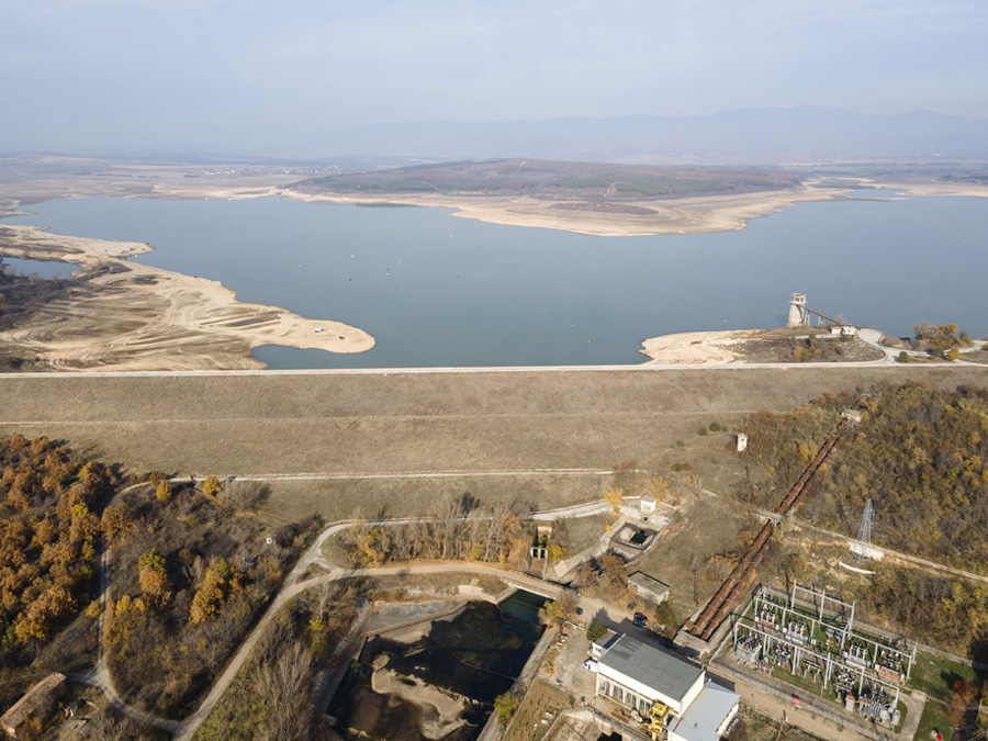
(- ... Following the Pyasachnik Reservoir a few kilometers downstream of the village, the river flows through the Upper Thracian Plain, where the sandy riverbed is corrected with protective dikes. ...
- ... Po priehrade Pyasachnik niekoľko kilometrov po prúde od obce preteká rieka Hornothráckou nížinou, kde je piesčité koryto upravené ochrannými hrádzami. ...)
PYASACHNIK RESERVOIR: https://en.wikipedia.org/wiki/Pyasachnik_Reservoir
more STREET VIEWs - wide views https://www.google.com/maps/place/%D1%8 ... &entry=ttu
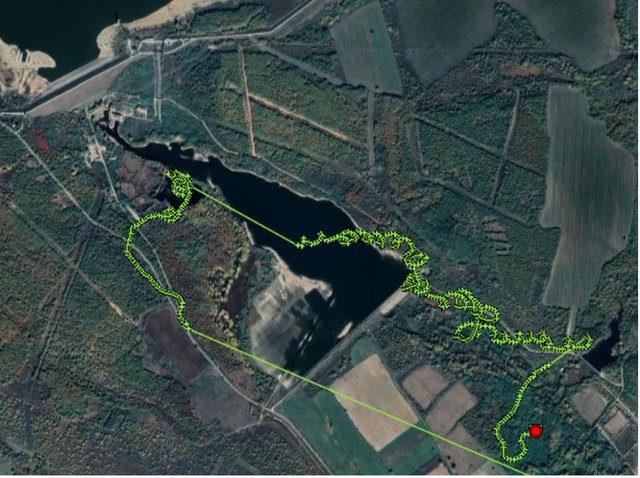
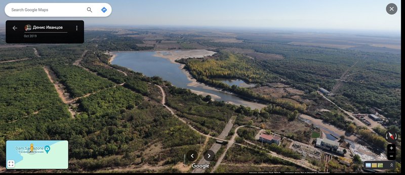
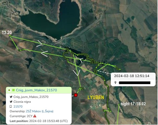
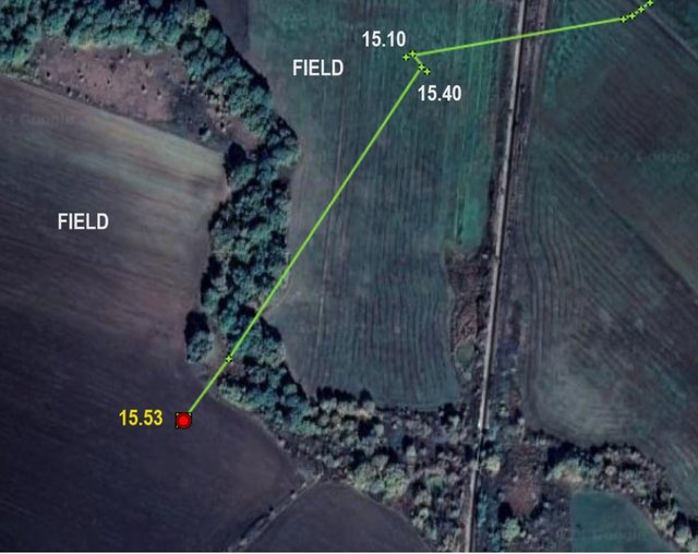
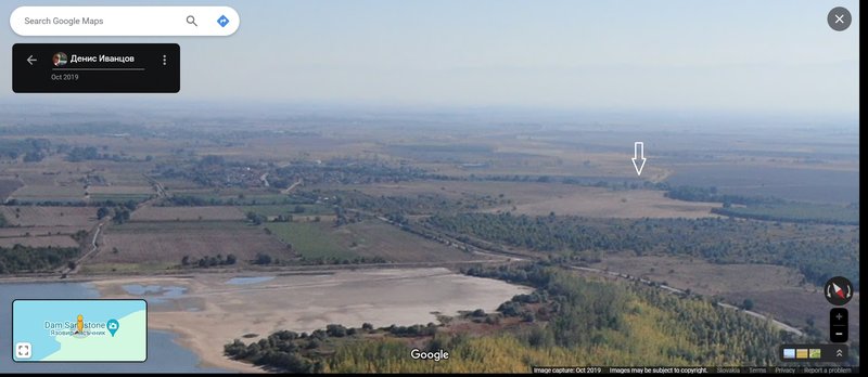
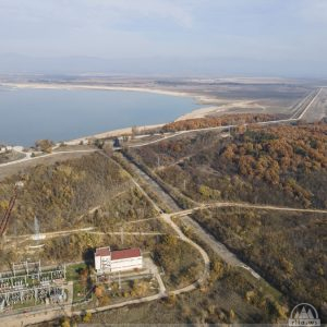
- even in October, the level of the nearby dam (to the north from the village Lyuben) was very low
- ešte v októbri bola hladina blízkej priehrady (na sever od dediny Lyuben) veľmi nízka
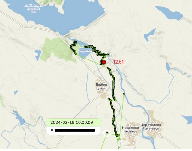
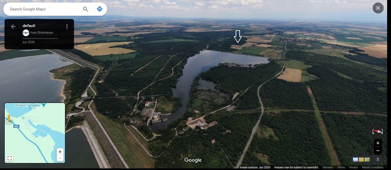
Dam Sandstone, Lyuben
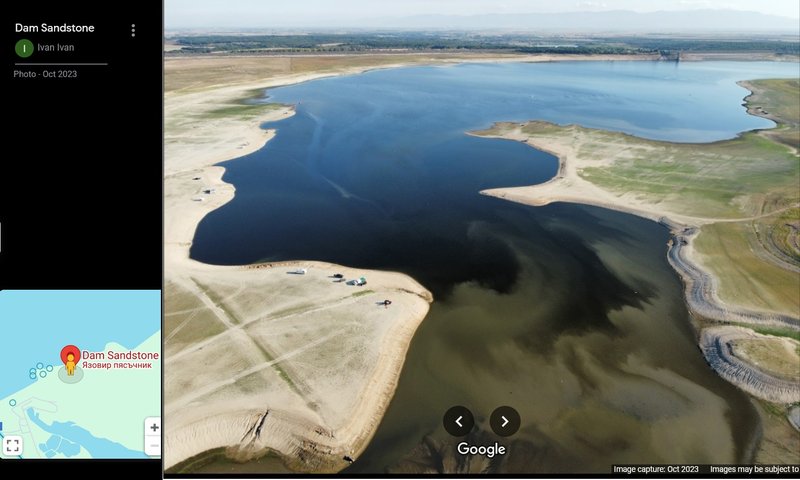
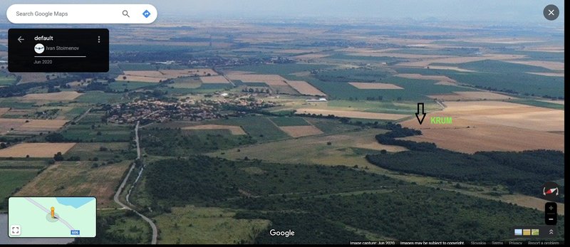
PHOTO https://maps.app.goo.gl/M9Ci7Q57jcTyEGiy8 Ivan Ivan Photo - Oct 2023
the area of this dam on 5 April 2009 - táto priehrada 05.04.2009
(the mountain range Sredna Gora in the distance - pohorie Sredna gora v pozadí)
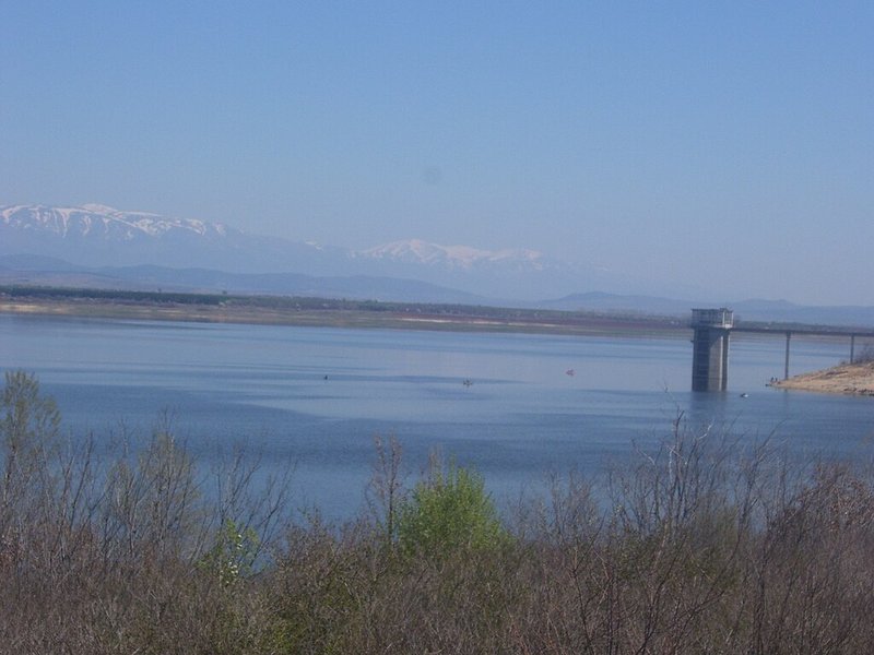
PHOTO By Мико - Own work, CC BY-SA 3.0, https://commons.wikimedia.org/w/index.php?curid=6993439
VIDEO (very nice) uploaded on 9. 7. 2020 by Ivan Stoimenov https://youtu.be/w3sJ2FB3JvY?si=CovZZAk6r2zv1NHa
this VIDEO is with English tittles, very interesting
uploaded on 8. 10. 2021 by PlamenTV