November 05
Hello everyone

Birdmap update for
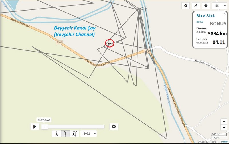
BONUS https://birdmap.5dvision.ee/EN/2022/aut ... =0&speed=1
Previous data:
(viewtopic.php?p=10798#p10798 and next)
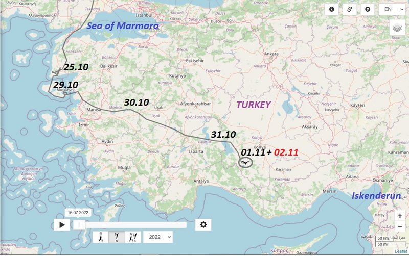
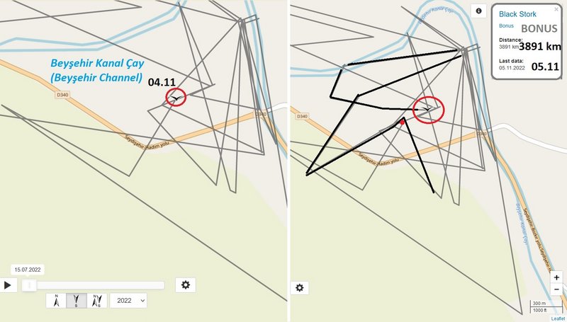
- 02.11.2022, Distance: 3864 km (
+ 24 km)
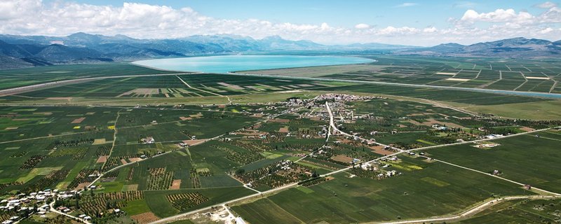
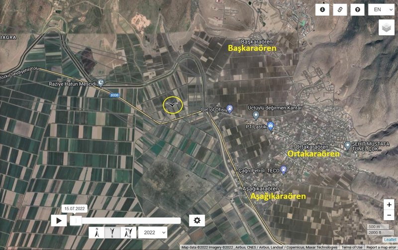
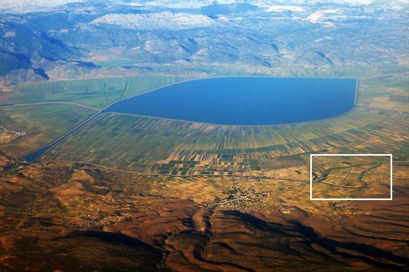
- TURKEY: Başkaraören - a village in Seydişehir district of Konya Province
NEW data:
- 04.11.2022, Distance: 3884 km km (
+ 20 km in 2 days)
- TURKEY: Başkaraören - a village in Seydişehir district of Konya Province
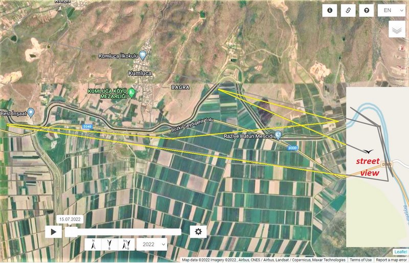
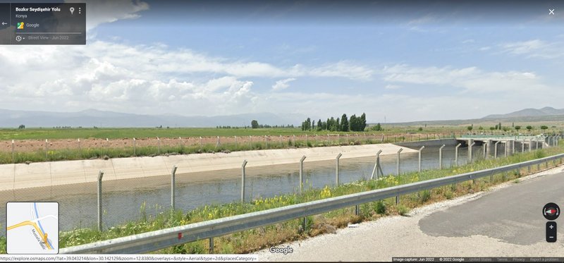
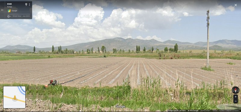
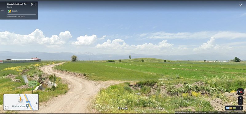
Bonus is exploring that area - new lines area on the fields to the west form the channel, resp. from the villages Başkaraören - Ortakaraören - Aşağıkaraören. From the road there is a street view of the field from each side
. (link in previous post)


