October 05
Hello everyone

Birdmap update for
KARL II https://birdmap.5dvision.ee/EN/2022/aut ... =0&speed=1
Karl II is again on his way to south - fingers crossed, fly safe!
Previous data:
(viewtopic.php?p=10217#p10217 and next)
- 03.10.2022, Distance: 2538 km (+ 23 km)
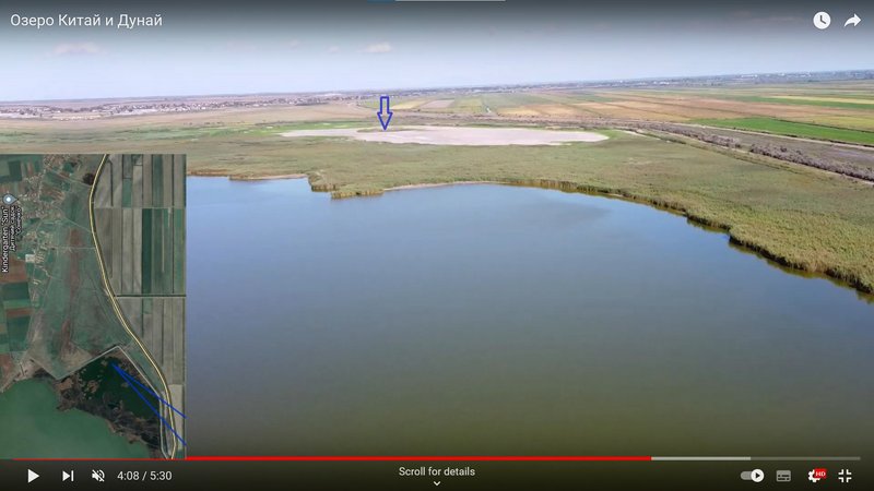
- UKRAINE: Stepovyy/Степовий – Kiliya in Kiliia Raion of Odessa Oblast
NEW data:
- 04.10.2022, Distance: 2874 km (
+ 336 km)
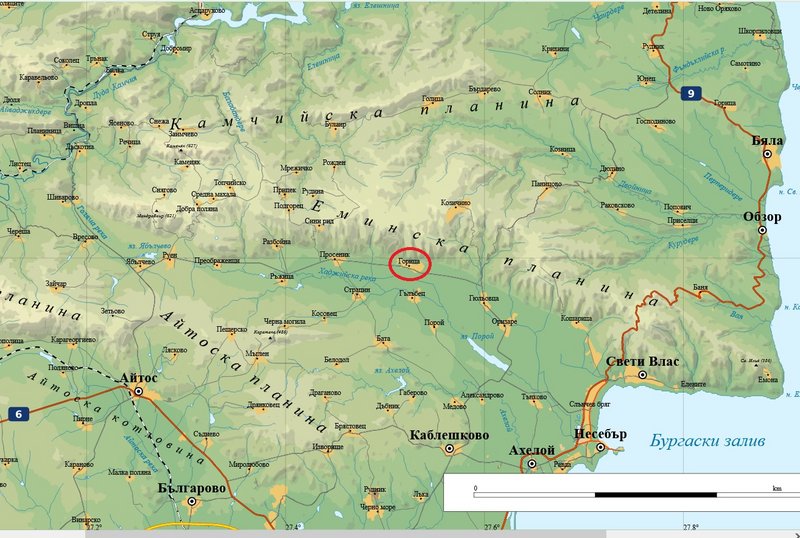
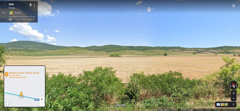
- BULGARIA: Goritsa - a village in the municipality of Pomorie, in Burgas Province (southeastern Bulgaria)
Newest localisation is in the middle-part of the Eminska Planina (the easternmost part of the Eastern Stara Planina) in forest area
more Adriána


