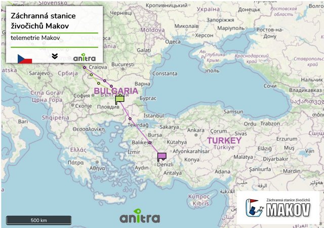
v tejto istej oblasti strávila október minulú jeseň Bajka (mladá samička z hniezda s kamerou v Bolewiciach, potomok Skierky a Bolka)
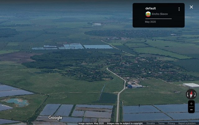
PHOTOSPHERE/STREET VIEW Zemlen https://maps.app.goo.gl/uuHTnA54TjkYubq48 by Encho Slavov May 2020
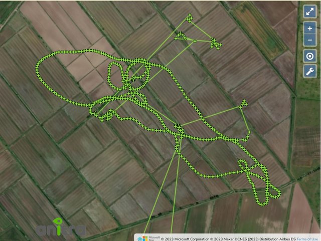
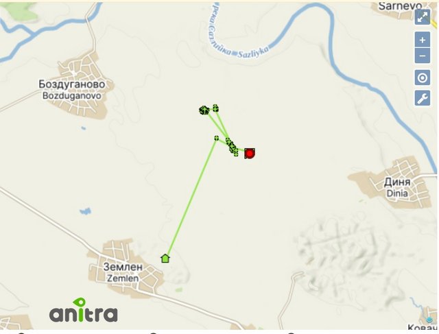
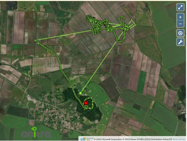
view to his night resting area/forest near the village - pohľad na lesík pri dedine, kam chodí nocovať
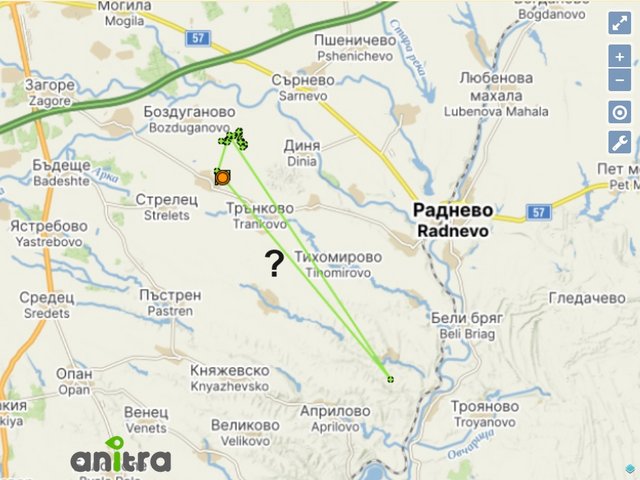
On the territory of the villages of Kolarovo, Zemlen and Trunkovo there are 8,045 acres of rice paddies. - sú tam ryžové polia (https://radnevo.bg/section-195-content.html, and Zemlen mentioned also here: https://agro.bg/novini/biologichno-zeme ... o-na-oriz/ , http://agrocompass.bg/article.php?ID=96)
(GT)
Two rivers pass through the village, the main one of which divides it into two, and about a kilometer before entering the village it forms a natural lake, the bottom and coast of which are covered with sand, which is probably why the locals called it Sand.
The two rivers are almost dry, but the "Sand" still has water, which means that it is most likely fed by groundwater in addition to the river. Groundwater around and in the village is abundant.
History
The old name of the village is Toprak hisar (Toprak hisar) from a Turkish ring fort - a few hundred meters northwest of the village the fort in question still exists - it is a circular mound surrounded by a moat, which was probably filled with water, because the whole place is surrounded by poplars (this tree most often grows around water bodies), and hisar (hisar) in Turkish means "fortress"
(source: Zemlen - https://bg.wikipedia.org/wiki/%D0%97%D0 ... 0%B5%D0%BD)
the Turkish ring fort - Toprak hisar (also wider view)
Землен – укрепление Топрак хисар
more under the video or here https://www.bulgariancastles.com/s-zeml ... rak-hisar/
VIDEO https://youtu.be/Fn6me29tPg4?si=oaoOrWGy3kEHQjos uploaded on 18 Jan 2022 by laryy555