previous birdmap update 22.09 viewtopic.php?p=52205#p52205 - next update: 24.09 viewtopic.php?p=52244#p52244
September 23
Hello everyone

Previous data
travelling day
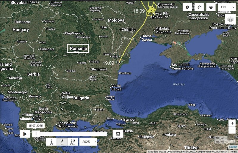
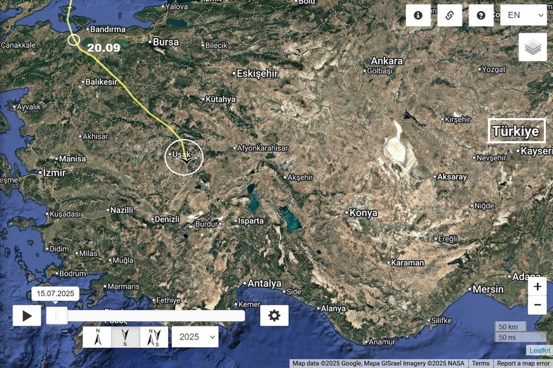
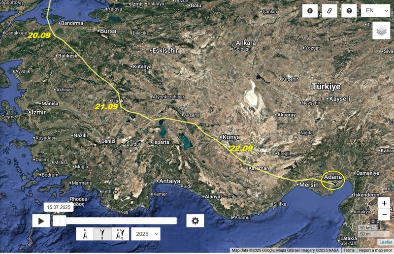
- 22.09, Distance: 3925 km (+ 289 km)
- Turkey: Çumra - a municipality and district of Konya Province
NEW data
travelling day
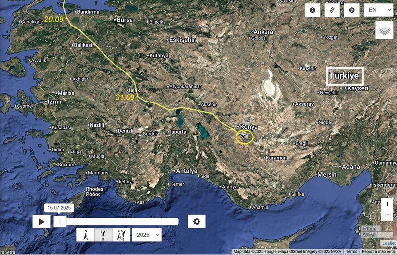
- 23.09, Distance: 4223 km (+ 289 km)
- Turkey: Ayvalık - a neighbourhood of the municipality and district of Yumurtalık, Adana Province
Kerli arrived to the "İskenderun Körfezi" = Gulf of İskenderun or Gulf of Alexandretta - a gulf of the eastern Mediterranean or Levantine Sea. It lies beside the southern Turkish provinces of Adana and Hatay. The Gulf of Alexandretta forms the easternmost bay or inlet of the Mediterranean Sea. It lies beside the southern coast of Turkey, near its border with Syria.(wiki)
Last season, Kerli didn’t cross directly over İskenderun Bay. Instead, she skirted around it, flying closer to the shoreline rather than going straight across ("coastal path"). I’m curious to see how she’ll approach the bay this year.
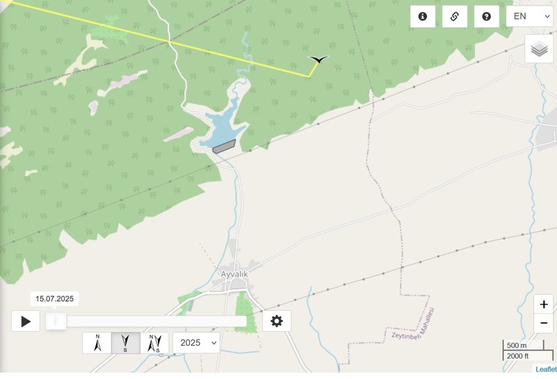
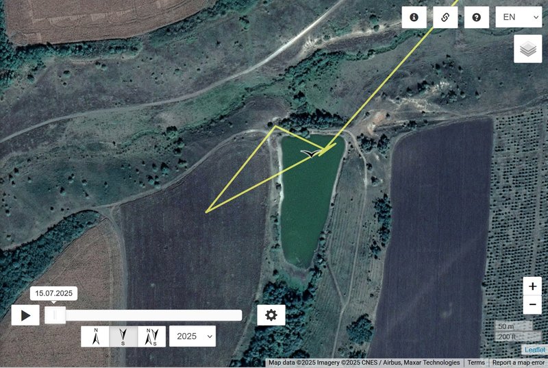
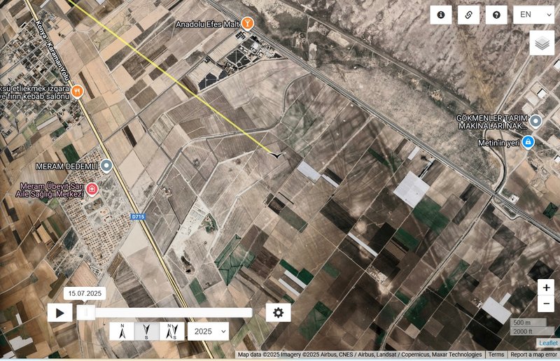
Ayvalık Sulama Pond
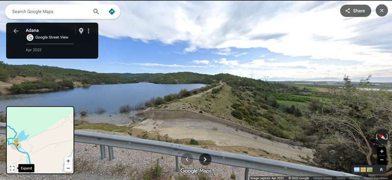 STREET VIEW https://maps.app.goo.gl/MKDz1wcF77RDAmBy6 - 04/2022