 STREET VIEW 1
 (southern edge of the village - južný koniec dediny):
https://maps.app.goo.gl/9f6qf8GwQdTa3dVN7 image capture Oct 2022
- by turning the image with the mouse to the left, you will see the place where he was feeding
- turning right you will see in the distance the cemetery and the forest to which it flies for the last few days at night
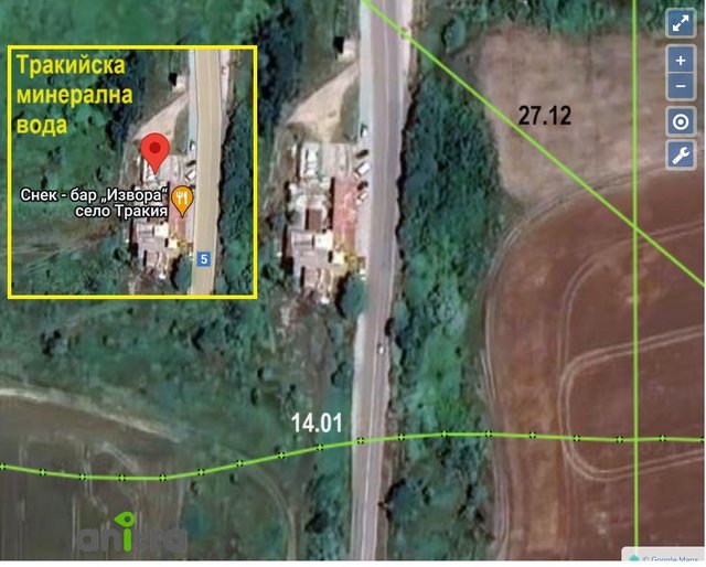
- it's just a few meters south of the spring (more in the morning post
viewtopic.php?p=26433#p26433, also street view, information and link to photos)
- otočením obrazu pomocou myši doľava uvidíte miesto kde sa kŕmil
- otočením doprava uvidíte v diaľke cintorín a les do ktorého lieta posledné dni na noc
- je to len pár metrov na juh od prameňa (viac v rannom príspevku
viewtopic.php?p=26433#p26433 - aj street view, informácie a link k fotkám)
STREET VIEW 2 (eastern edge of the village - východný koniec dediny):
https://maps.app.goo.gl/aNDarp999nx6dvsr6 image capture Nov 2022
- here Krum flew over the road leading from Trakiye to Sredets (E85) and continued to his favorite area near the reservoir - the vicinity of the stream
- tu Krum preletel ponad cestu vedúcu z Trakiye do Sredets (E85) a pokračoval do svojej obľúbenej oblasti pri nádrži - okolie potoka


