continuation
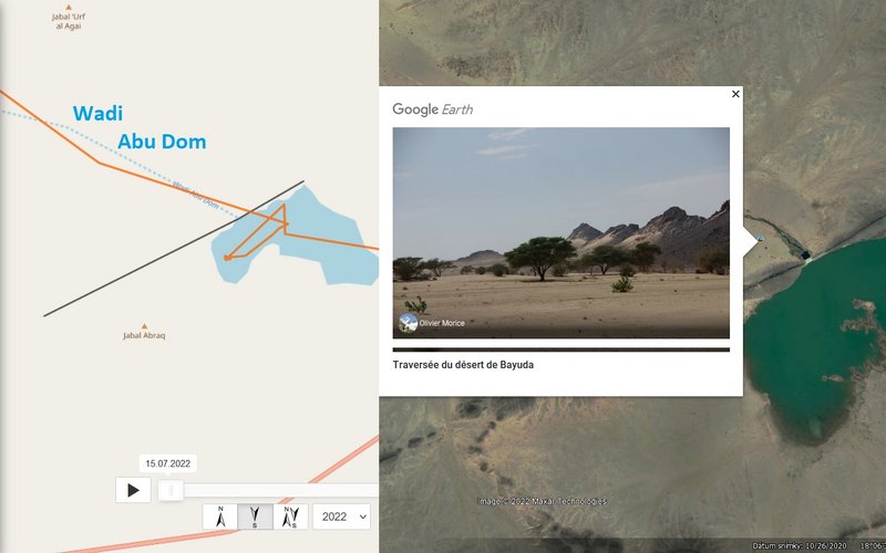
this photo was taken sometime between December 28, 2008 and January 6, 2009 (
https://olivier-morice.fr/?c=monde) - probably the area changed or this photo is in the area of the intermittent stream or simply misplaced (historical images for this area doesn't work on google earth pro)
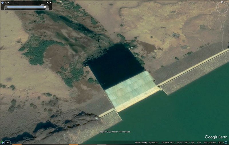
view on 26.10.2020
(old) 3D view on that area
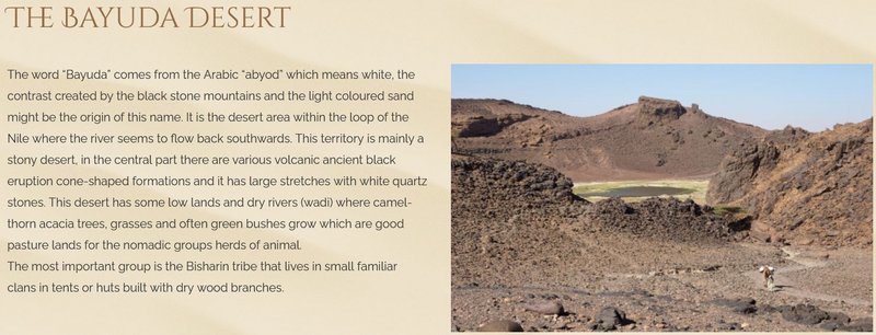
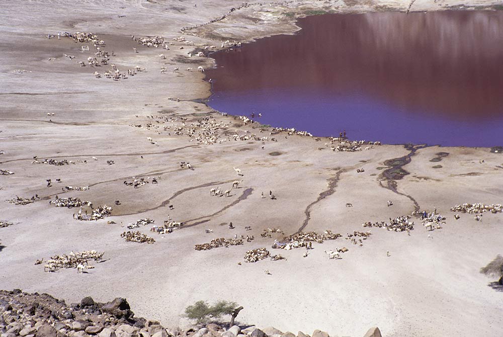
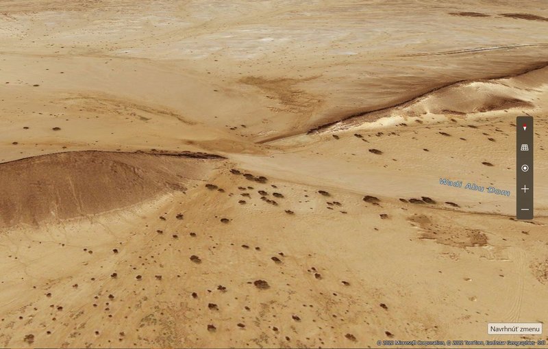 The Wadi Abu Dom is one of the largest valleys of the Bayuda Desert. Whereas the wadi itself is in general a wide sandy plain, there are rocky areas consisting of flat out crops and even hills that influence the (river)bed. The dendritic offspring of the Wadi Abu Dom is situated in the rocks of Ras ed-Dom south-west of the Bayuda volcano field. It flows around the Jebel Sultaniya in a roughly western direction, near Bir Merwa it changes its direction to north-west, and near Umm Beida it again flows in a sharp bend in a roughly western direction. The part of the Wadi between its offspring and Bir Merwa is defined as the upper Wadi Abu Dom, the part from Bir Merwa to Umm Beida as the middle, and the part from Umm Beida to the Nile River as the lower Wadi Abu Dom. (source: https://www.degruyter.com/document/doi/ ... ml?lang=en)
information are also e.g. here
http://wadi-abu-dom.de/wp-content/uploa ... educed.pdf (project site
http://en.wadi-abu-dom.de/)
(first posted here:
viewtopic.php?p=11029#p11029)
edit:
German wiki
(https://de.wikipedia.org/wiki/Wadi_Abu_Dom) says: The Wadi Abu Dom has today only very irregularly water (most recently in the summers of 2009 and 2013).


