(last post viewtopic.php?p=551#p551)
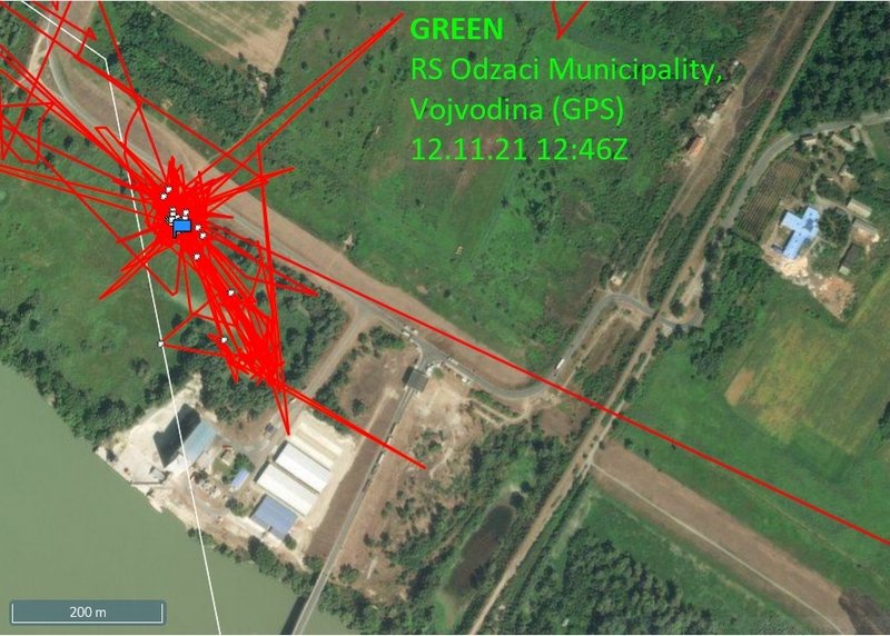
GREEN: stork spent all day on his newest favourite area (near the port) - approx 4 km from Bogojevo - village located in Odžaci municipality, West Bačka District, Serbia
on Nov 10 stork has localisations in this wet area near the route all day and night too (there are the localisations from previous days too - too much red lines); you can see this place on the street view (link down)
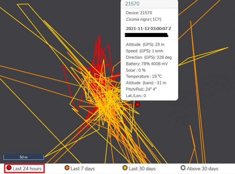
(red lines on the pic - "black"/to the left - are the yesterday moving/the last 24h)
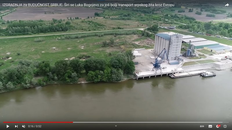
video the port area (dron view): https://youtu.be/fxu4oTwFTeY
photo - port: https://upload.wikimedia.org/wikipedia/ ... mbos02.JPG
street view Green's feeding/resting/night place: https://goo.gl/maps/LpfRUse8iRb1fNRK7
the port area these days https://goo.gl/maps/bLhJQdoXGDdvDL4u9
the nearby area these days https://www.facebook.com/bogojevovikend ... 3063133572
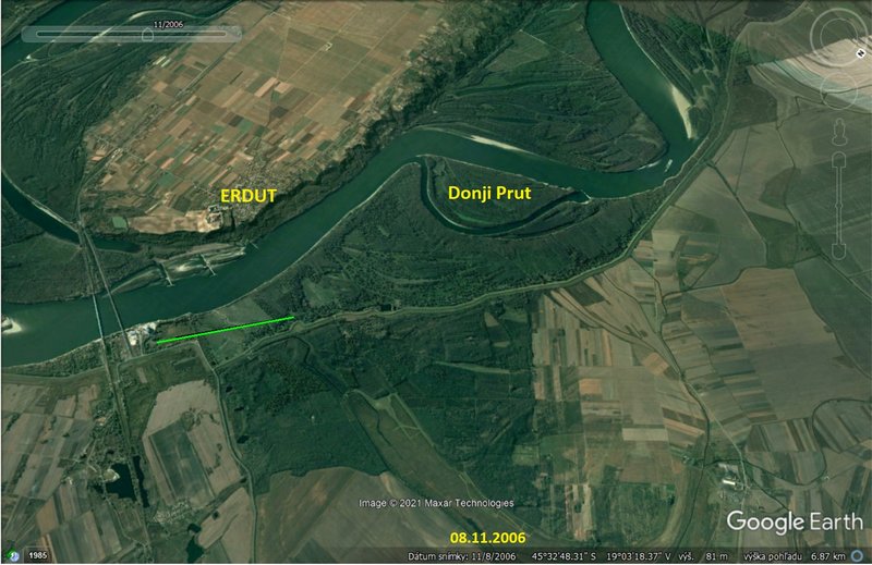
wider view on this area:
- map https://i.postimg.cc/tgtGBGTP/2021-11-06.jpg
- photo https://www.zvono.eu/images/139735.jpg or this https://goo.gl/maps/HhYrE5C4em8UKCFc7
live view on the Bogojevo border crossing point https://alltrafficcams.com/live/border- ... evo-erdut/ (2 cams - scroll down)


