Hello everyone
 EEDI http://birdmap.5dvision.ee/EN/2021/autu ... =0&speed=1
(previous post viewtopic.php?p=100#p100)
EEDI http://birdmap.5dvision.ee/EN/2021/autu ... =0&speed=1
(previous post viewtopic.php?p=100#p100)
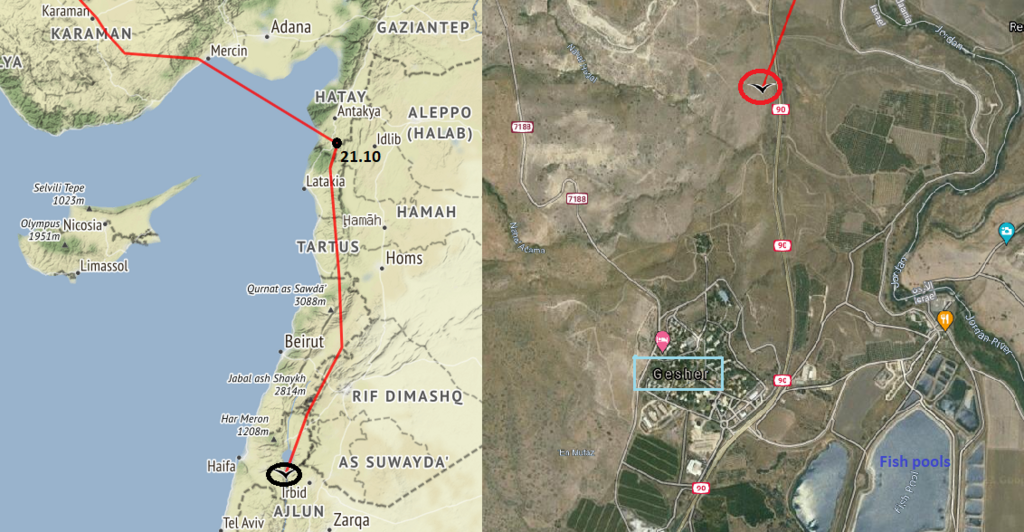
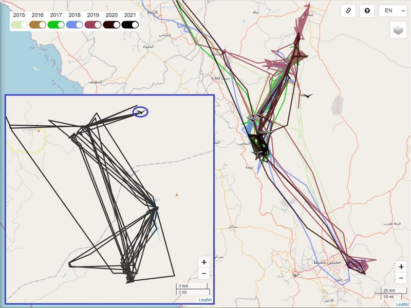
birdmap update after 17 days
Eedi arrived to his usually wintering area (most probably already on Oct 6)

- more tomorrow
continuation - morning 24.10)
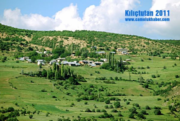
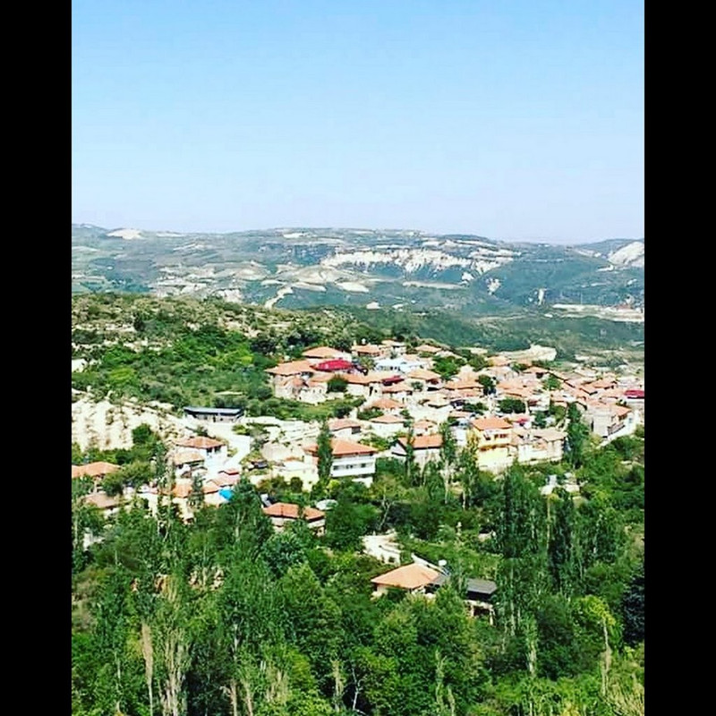
previous data: 06.10.2021, distance 5392 km (+82 km), in the area the Al-Aqeeq Valley dam, Al Bahah Region, Saudi Arabia
new data:23.10.2021, distance 5970 km (
+578 km), east from town Alfaraah Al Shamaliayah (North Farra), Al Namas Governorate, Asir Province, Saudi Arabia
(to the east, the territory of the tribe extends to the city of Bisha - wiki)
Asir Province/Region
https://en.wikipedia.org/wiki/%27Asir_P ... vernorates
Al Namas Governorate
https://en.wikipedia.org/wiki/Al-Namas
North Farra:
https://en.wikipedia.org/wiki/North_Farra
 more in the evening - done
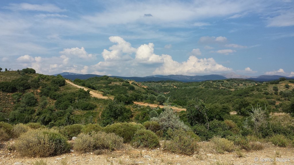
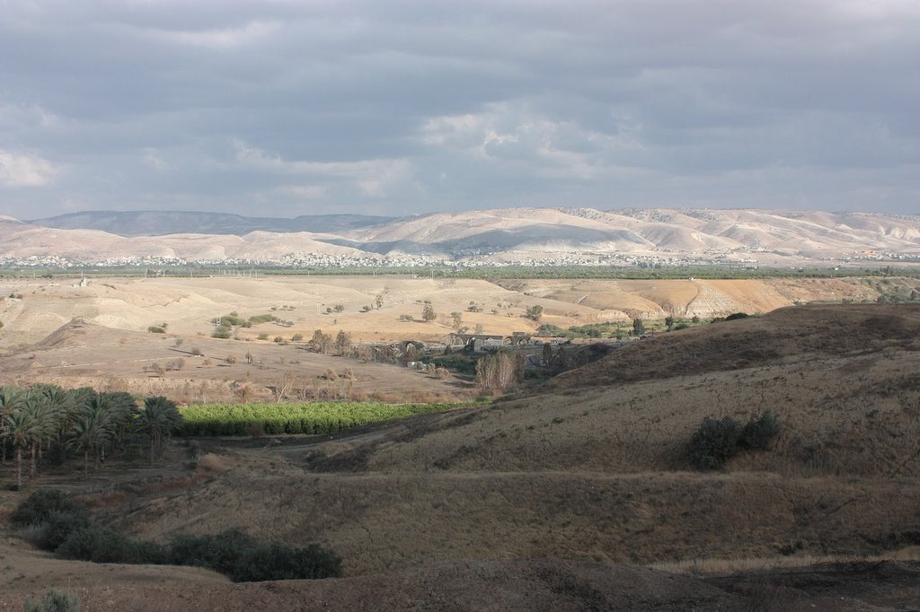
the newest localisations are in the valley - Eedi is hunting food in the stream area and is flying to the rest on one electric power line mast
ones he visited the Valley Dam Bdoh dam
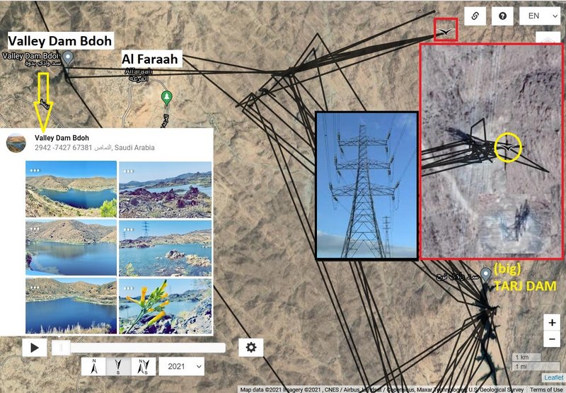
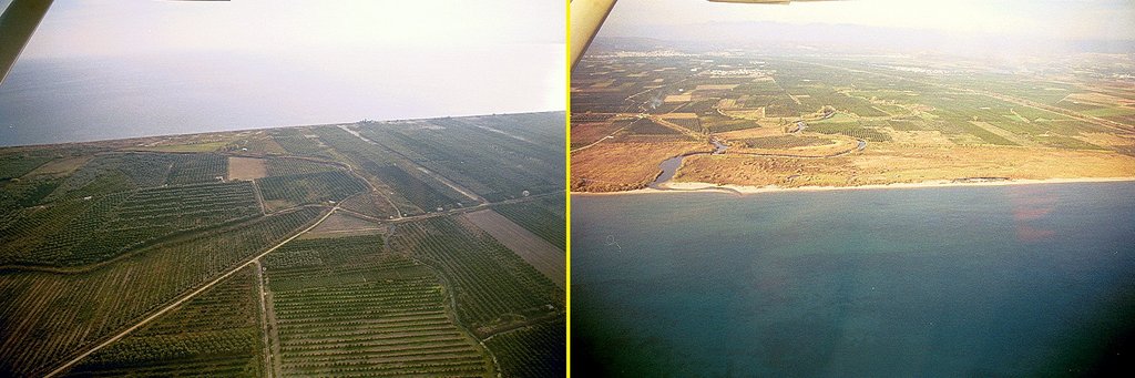
PHOTOS
1 - https://goo.gl/maps/2w3EzqTZBoqY9AUr7, 2 - https://goo.gl/maps/t2j9BauvE4Lwn7xbA, 3 - https://goo.gl/maps/QN1cem7EWFTwq5SA7,
4 - https://goo.gl/maps/E9DGchk4M4jTJuYZ6, 5 - https://goo.gl/maps/XV26mPyuvBXiWeVv9, 6 - https://goo.gl/maps/edNweW2RoW3AHoaj6
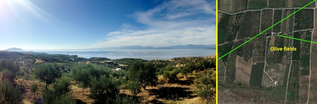
one of his preferred and also this year visited area is the Tarj dam area (the big one - to the north)
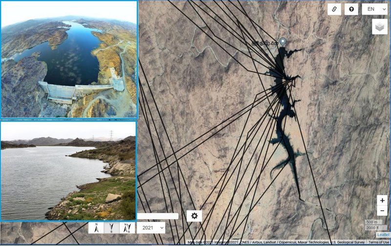
PHOTOS
https://sabq.org/Qchgde
and
https://goo.gl/maps/p6Fun1rARqqaseQ48 image capture Jul 2018